
Expert GIS Based Plan Services
Designing Solutions is a leading GIS Based Plan Services development agency that specializes in creating custom GIS Based Plan Services for businesses of all sizes. We have a team of experienced developers who are experts in all major GIS platforms, including ArcGIS, QGIS, and Mapbox.
We understand that every business is different, which is why we take the time to understand your specific needs before we start development. We work with you to create a GIS Based Plan Services that is tailored to your business goals and objectives.

Features That Make Our GIS Based Plan Stand Out
- Data integration
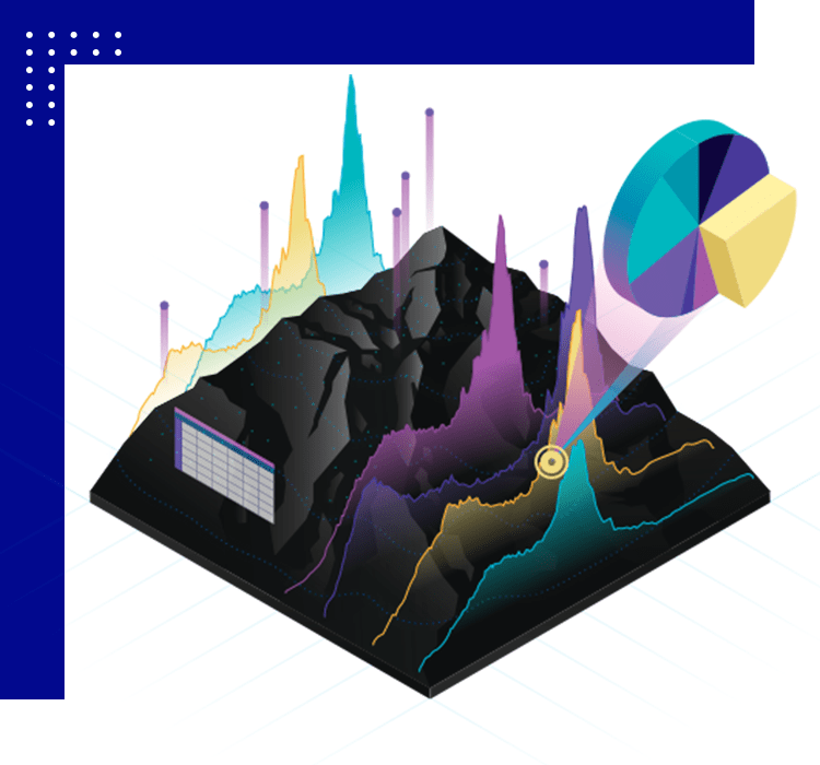
- Visualization
- Analytical capabilities
- Customization
- Ease of use
- Scalability
GIS-Based Planning That Simplifies Complexity
GIS Based Plan development that’s easy to understand and use is our passion. We create clear, concise, and informative plans that are both functional and effective. Our team of experienced developers is dedicated to creating plans that meet your specific needs and exceed your expectations.
// GIS BASED
Do you want to hire the expert GIS Based Plan developer for your project?
Are you looking for an expert GIS Based Plan developer who can help you create a plan that will wow your customers and help you achieve your business goals?
We at Designing Solutions help you develop the GIS Based Plan you need to improve your operations, make better decisions, and achieve your goals.
Our team of expert GIS Based Plan developers has the skills and experience to create plans that are both functional and user-friendly. We use the latest technologies and best practices to ensure that your plan is developed properly and meets your requirements.

Problem-solving
Solving challenges creatively
Attention to detail
Precision as a habit
Data visualization
Making data captivating
// WHY CHOOSE US
Your go-to for GIS Based Engineering needs
Designing Solutions is a company that provides a wide range of GIS Based Plan Engineering services, from design and development to maintenance and support. We are a one-stop shop for all your GIS Based Plan Engineering needs, meaning that you can come to us with any GIS Based Plan Engineering project, big or small, and we will be able to help you.
Designing Solutions has a team of experienced GIS Based Plan Engineers who are experts in a variety of technologies. We are also up-to-date on the latest trends in GIS Based Plan Engineering, so you can be sure that your project will be created using the latest and most effective methods.
Branding, Websites and Digital Experiences,
Crafted with Brilliance,
Love, Precision and Care. Pride. Style.